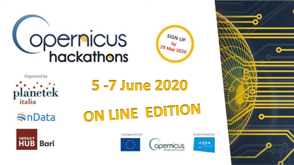
The Copernicus Hackathon is back! Following last year’s success, promoted and coordinated by the European Commission, The Copernicus Hackathon 2020 will be held online next June 5 to 7 challenging developers, innovators and designers to look for solutions and Apps, using data and services of the European Copernicus programme.
The challenge of European hackers: designing life amid Covid-19 studying satellite data
Organized by Planetek Italia, Sprint Lab and OnData, the Italian online Copernicus Hackathon 2020 calls innovators and experts from all over Europe to find solutions in the field of water networks, aquaculture, irrigation planning, pandemic and contagions. In particular, the European Commission launches a challenge on Covid-19.
Experts from all over Europe will meet on a platform that allows virtual immersion, complete with interactive whiteboards and relaxation rooms to facilitate networking. This is the first Italian edition of online Copernicus Hackathon.
Developers, graphic designers, web and App interface designers, together with innovators and data enthusiasts will test themselves by creating innovative solutions using the satellite data made available by Copernicus, the European Commission programme that collects satellite images from different sources and offers them as free open data.
The goals: on the one hand, to create projects that can be useful in solving water-related problems or to fight the pandemic, on the other, to generate business opportunities to overcome the economic crisis it has generated.
The best team will win: a prize of 2,000 euros; access to the Copernicus Accelerator, the coaching programme that accompanies innovative start-ups willing to do business with Copernicus data and services, for a whole year; and participation in the Consulting Program of The Hub Bari for business development.
Through satellite we can see a lot of important consequences [of Covid-19] on our cities, the territory and the environment. Some aspects are shocking. Others surprising. For example, we can monitor the relationship between air pollution and the spread of the virus in our cities, or the relationship between the mortality rates from Covid-19 in the world and the temperature and humidity data released by the Copernicus Climate Change control service.
Therefore, one of the primary objectives of the Hackathon will be to use Copernicus data to develop tools that allow us to organise our coexistence with the virus. Moreover, considering the economic crisis generated by the pandemic, it is necessary to develop new business models by exploiting the only environment that is immune to Covid-19, the IT one.
The best projects resulting from the Hackathon will get into an acceleration path supported by the Sprint staff who will help them become Startups and build sustainable business models. One of the peculiarities of these events is to create a bridge between company needs and professionals. Therefore, the areas of action that we choose always arise from an explicit request from companies.
In addition to Covid-19, the Copernicus Hackathon in June will launch three other challenges concerning prevention and management of water and sewage network issues, irrigation planning and aquaculture. Nowadays, satellites allow understanding where critical issues are, when dealing with risk prevention, health of vegetation, chemical and physical parameters of waters. A group of stakeholders selected by Hackathon organisers from public and private users present their needs and challenges in advance.
The Copernicus Hackathon Bari 2020 will take place online on Remo platform.
Registration is free of charge and application deadline is 29 May 2020.
Reserved to legal adults, resident of one of the Copernicus participating countries (EU Member States + Norway and Iceland).
Subscribe to our newsletter
Keep yourself updated, receive SPACE4GEO Alliance news and info on new opportunities.
Join the SPACE4GEO Alliance
Be part of the SPACE4GEO Alliance and let’s discuss and work together on the supply and demand of skills in the EO/GIS sector. Stakeholders in the EO, GIS and Skills sectors are more than welcome!
Join a Network pooling together expertise from academia, VET providers, company, public institutions, research centres and sectoral associations with the common goal of fostering skills development in the space and geoinformation downstream sector.
