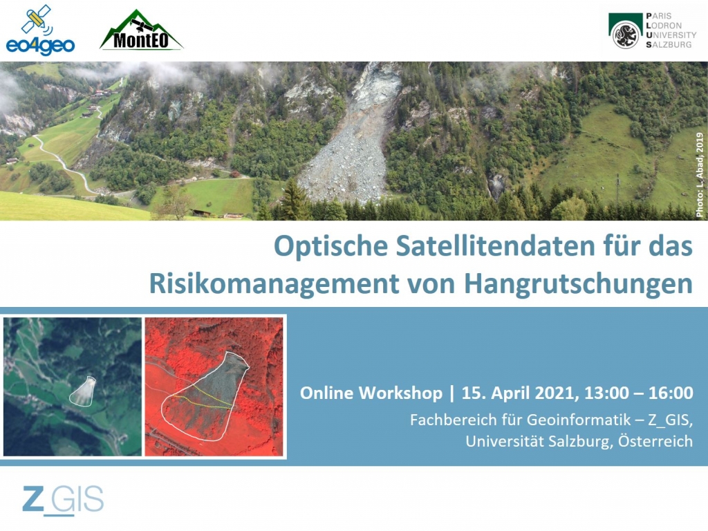
EO4GEO and the University of Salzburg invites you to an online workshop on April 15th 2021 for discussing the use of optical EO data for landslide risk management.
Participants will become familiar with methods for mapping landslides in optical satellite images and with approaches for modelling landslide susceptibility.
The interactive discussion will compare the quality of EO-derived landslide maps to the requirements from risk management.
The workshop in German language addresses experts for landslides, infrastructure and risk management.

Subscribe to our newsletter
Keep yourself updated, receive SPACE4GEO Alliance news and info on new opportunities.
Join the SPACE4GEO Alliance
Be part of the SPACE4GEO Alliance and let’s discuss and work together on the supply and demand of skills in the EO/GIS sector. Stakeholders in the EO, GIS and Skills sectors are more than welcome!
Join a Network pooling together expertise from academia, VET providers, company, public institutions, research centres and sectoral associations with the common goal of fostering skills development in the space and geoinformation downstream sector.