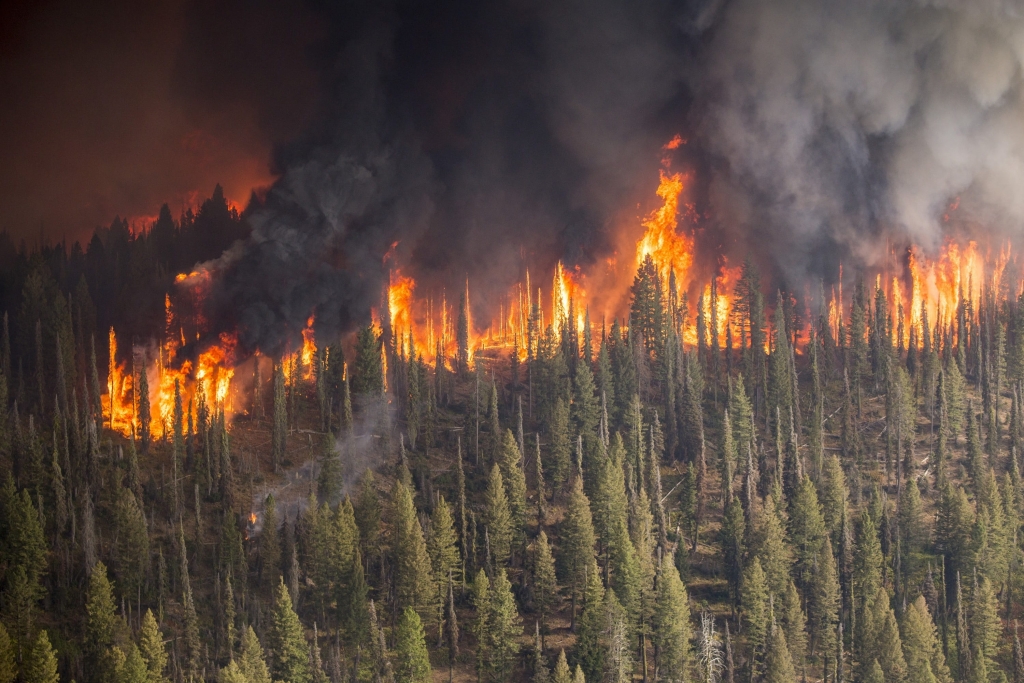
Serco UK&E in collaboration with EO4GEO, invites you this October 28 at 14:30 CEST to a webinar on the basics of image processing for active fire detection, showing how to download, process, analyse and visualize the free data acquired by the Copernicus satellites.
The webinar will show how to use the ESA SNAP Sentinel-3 Toolbox to demonstrate the methodology to detect active fires with the SLSTR instrument onboard Sentinel-3.

Subscribe to our newsletter
Keep yourself updated, receive SPACE4GEO Alliance news and info on new opportunities.
Join the SPACE4GEO Alliance
Be part of the SPACE4GEO Alliance and let’s discuss and work together on the supply and demand of skills in the EO/GIS sector. Stakeholders in the EO, GIS and Skills sectors are more than welcome!
Join a Network pooling together expertise from academia, VET providers, company, public institutions, research centres and sectoral associations with the common goal of fostering skills development in the space and geoinformation downstream sector.