EO for urban greenery management
An EO4GEO Webinar | April 26th. 2021 at 4 PM CET
e invite students interested in urban studies to take part in a webinar dedicated to the use of remote sensing data in the management of urban greenery.
Urban greenery is a key element of a healthy human environment. When properly designed and nurtured, it generates a variety of benefits for the purpose of climate change mitigation and adaptation in urban spaces. In the coming years, urban green management will put more focus on biodiversity conservation, protecting ecosystems and using nature-based solution, including green infrastructure.
By participating in the webinar the students will understand how to acquire data on urban greenery using remote sensing methods and how such collected data can be used to improve urban greenery management, especially in the context of climate change adaptation.
![]() The webinar is held in English.
The webinar is held in English.

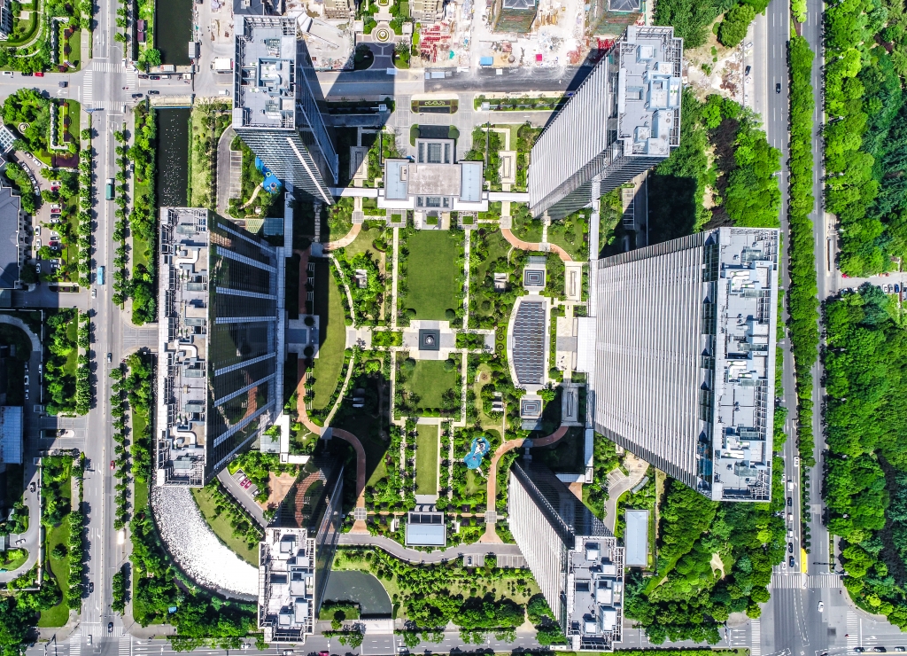
A bird’s eye view of shanghai
Webinar recording
Agenda
Organizer
The Webinar is organized by UNEP/GRID-Warsaw Centre, in the framework of the EO4GEO project.

Subscribe to our newsletter
Keep yourself updated, receive SPACE4GEO Alliance news and info on new opportunities.
Join the SPACE4GEO Alliance
Be part of the SPACE4GEO Alliance and let’s discuss and work together on the supply and demand of skills in the EO/GIS sector. Stakeholders in the EO, GIS and Skills sectors are more than welcome!
Join a Network pooling together expertise from academia, VET providers, company, public institutions, research centres and sectoral associations with the common goal of fostering skills development in the space and geoinformation downstream sector.