Heat islands and green infrastructure in urban areas
Webinar: October 5th 2021 at 1:00 PM CEST.
Workshop: October 8th 2021 at 9:30 AM CEST.
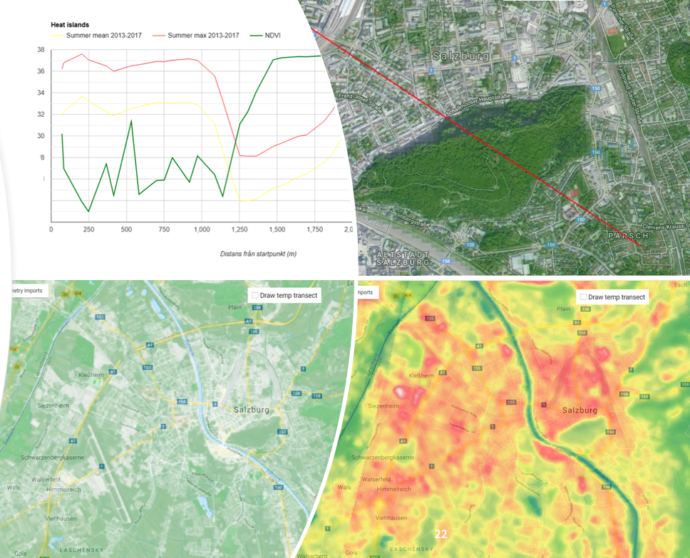
he EO4GEO Partner Geografiska Informationsbyrån GiB in collaboration with EO4GEO invites you to an introductory webinar adressing the issue of urban heat and urban heat islands, and more specifically how to use EO-derived surface temperature maps to identify areas prone to heat stress in the urban environment.
The webinar will be followeb by a workshop aiming at getting a hands-on experience with the data that is used to assess green infrastructure and heat islands in the urban environment.
The webinar contains mostly non-technical aspects and targets planners on different levels in cities or municipalities, Climate adaption coordinators, GIS technicians, researchers, and ecologists.
The workshop targets planners, climate adaptation coordinators, GIS technicians, researchers and ecologists that want to get a hands-on experience of using EO data for analyzing urban heat and green infrastructure.
The workshop will focus on the more technical aspects of how to analyze and assess heat islands and green infrastructure using EO and GIS data. After a short introduction, participants will work through examples on their own, supervised by the workshop leaders. We look at data sources and satellite sensors, tools for analyzing data and visualization of results. Each workshop example is followed by a Q&A session and discussion of the results.
Important information
 The webinar and workshop are in Swedish language.
The workshop requires the use of a GIS program (e.g. QGIS or ArcGIS) and some basic GIS skills.
Organizer
The workshop is organised by Geografiska Informationsbyrån GiB in collaboration with the EO4GEO project.
Dates
– Webinar: October 5th 2021 at 1:00 PM CEST. Duration: 1.5 hrs.
– Workshop: October 8th 2021 at 9:30 AM CEST. Duration 2.5 hrs.
Agenda
Webinar programme:
Workshop programme:

Subscribe to our newsletter
Keep yourself updated, receive SPACE4GEO Alliance news and info on new opportunities.
Join the SPACE4GEO Alliance
Be part of the SPACE4GEO Alliance and let’s discuss and work together on the supply and demand of skills in the EO/GIS sector. Stakeholders in the EO, GIS and Skills sectors are more than welcome!
Join a Network pooling together expertise from academia, VET providers, company, public institutions, research centres and sectoral associations with the common goal of fostering skills development in the space and geoinformation downstream sector.