Identification of heat islands to support city planning
An EO4GEO Webinar | February 3rd 2021 at 10:00 AM
his is a webinar for city planners about Urban Heat Islands and the importance of their identification in a spatial planning context. The webinar introduces the EO surface temperature maps, with their potential and their limitations.
This webinar is developed within the Smart cities task in the EO4GEO project. The webinar addresses the issue of urban heat and urban heat islands, and more specifically how to use EO-derived surface temperature maps to identify areas prone to heat stress in the urban environment. It presents a theoretical background on urban heat and how to obtain information from satellite sensors.
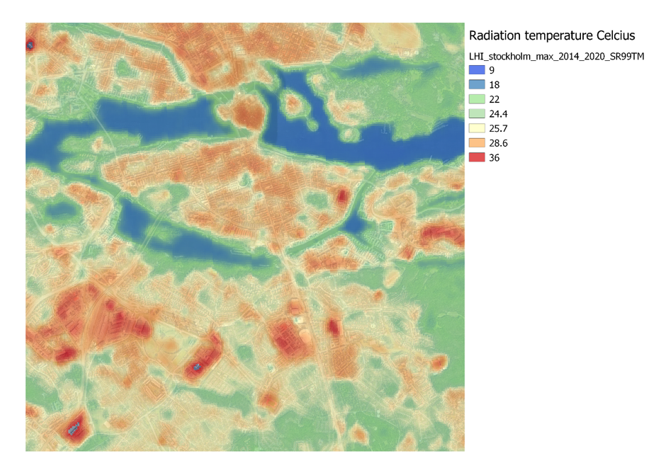
Together with this, a real-world case is presented from the city of Stockholm, presenting the usage of surface temperature maps for identification of temperature hot-spots within the city, along with spatial planning information.
Participants will learn more about EO, urban heat, surface temperature, mitigation of heat in a spatial planning context.
The webinar is mainly non-technical and targets planners on different levels in cities or municipalities, Climate adaption coordinators, GIS technicians, researchers and ecologists.

Webinar recording
Agenda
This webinar was held on February 3rd 2021 at 10:00 AM. Duration: 1.5 h.
- Presentation of the webinar content
- Presentation of the EO4GEO project
Poll #1
Urban heat islands – background and concepts
EO-derived temperature maps and satellite sensors – background
Urban heat – case from the city of Stockholm
Summary and conclusions
Poll #2
Questions from participants
Organizers
The Webinar was organized by Epsilon Italia and Geografiska Informationsbyrån (GiB), in the framework of the EO4GEO project.
Subscribe to our newsletter
Keep yourself updated, receive SPACE4GEO Alliance news and info on new opportunities.
Join the SPACE4GEO Alliance
Be part of the SPACE4GEO Alliance and let’s discuss and work together on the supply and demand of skills in the EO/GIS sector. Stakeholders in the EO, GIS and Skills sectors are more than welcome!
Join a Network pooling together expertise from academia, VET providers, company, public institutions, research centres and sectoral associations with the common goal of fostering skills development in the space and geoinformation downstream sector.