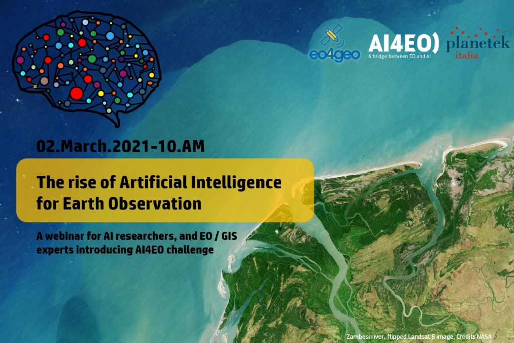
The rise of Artificial Intelligence for Earth Observation
An EO4GEO Webinar | 2 March 2021 at 10:00 AM
his webinar addresses the use of AI algorithms in EO applications. Participants will become familiar with AI concepts, from machine to deep learning, from unsupervised to supervised methods. Furthermore, applications in object detection, semantic segmentation, classification, clustering, and data augmentation will be showed.
This webinar is developed within the “Integrated Aplications task in the EO4GEO project.
The basic idea of AI algorithms (random forest, Multi-Layer Perceptron, Convolutional Neural Networks, and Generative Adversarial Networks) and how they are useful in the EO applications will be presented.
During the webinar, the AI4EO Project Team would like to introduce the AI4EO initiative and announce the launch of its first official Challenge. AI4EO is an initiative of the European Space Agency’s Φ-lab that aims to bring the worlds of Artificial Intelligence (AI) and Earth Observation (EO) closer together, stimulating and fostering new interaction and collaboration along the way.
The webinar is mainly non-technical, and all AI researchers, EO experts, GIS technicians, and technology enthusiasts are invited.

Webinar recording
Agenda
- Presentation of the webinar content
- Presentation of the EO4GEO project
AI – Background and concepts
Applications to EO
AI to map shadowed coffee plantations using multi-temporal and multi-sensor EO images
Poll
Presentation of the AI4EO challenge
QA
Conclusion
Subscribe to our newsletter
Keep yourself updated, receive SPACE4GEO Alliance news and info on new opportunities.
Join the SPACE4GEO Alliance
Be part of the SPACE4GEO Alliance and let’s discuss and work together on the supply and demand of skills in the EO/GIS sector. Stakeholders in the EO, GIS and Skills sectors are more than welcome!
Join a Network pooling together expertise from academia, VET providers, company, public institutions, research centres and sectoral associations with the common goal of fostering skills development in the space and geoinformation downstream sector.

