Product Description
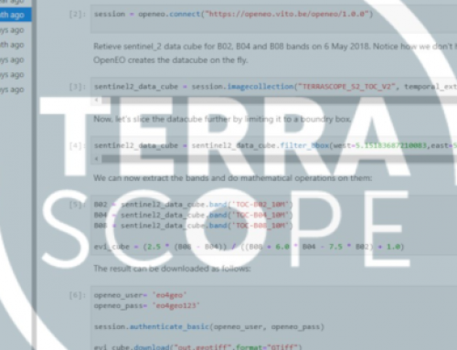
This training material provides an overview of ‘Terrascope‘. With this material, you can familiarize yourself with Terrascope and learn how to access to the data and process it.
Learning outcomes
Identify different types of Copernicus satellite data and derived products available on Terrascope Platform.
Compare various Terrascope tools and methods that can be leveraged to access and process data.
Demonstrate understanding of the platform by performing the instructions to access the Copernicus data.
BoK concepts
Links to concepts from the EO4GEO Body of Knowledge used in this course:
- > IP | Image processing and analysis
- > IP3 | Image understanding
- > IP3-1 | Band maths
- > IP3-1-1 | Biophysical and geophysical parameters
- > IP3-1-2 | Spectral indices
- > IP3-1 | Band maths
- > IP3 | Image understanding
-
-
- > IP3-11 | Time series analysis
- > IP3-11-2 | Cube-based time series analysis
- > IP3-11 | Time series analysis
-
- > PS | Platforms, sensors and digital imagery
- > PS3 | Remote sensing data and imagery
- > PS3-7 | Processing levels
- > PS3 | Remote sensing data and imagery
- > CV | Cartography and Visualization
- > CV5 | Map production
- > CV5-2 | Web map making
- > CV5 | Map production
- > WB | Web-based GI
- > WB1 | Web services
- > WB1-4 | OGC web services
- > WB1 | Web services
Material preview
Ownership
Designed and developed by: VITO – Vlaamse Instelling voor Technologisch Onderzoek.
Contributors: Jurgen Everaerts, Hande Erdem, Jeroen Dries.
License: Creative Commons Attribution-ShareAlike.
Education level
EQF 6 (what is this?)
Language
![]() English
English
Creation date
2020-08-20
Access
Find below a direct link to the HTML presentation.
Find below a link to the GitHub repository where you can download the presentation.
