Product Description
This workshop organized by University of Patras (UPAT) aims to provide advanced knowledge about the primary principles of air quality monitoring and management.
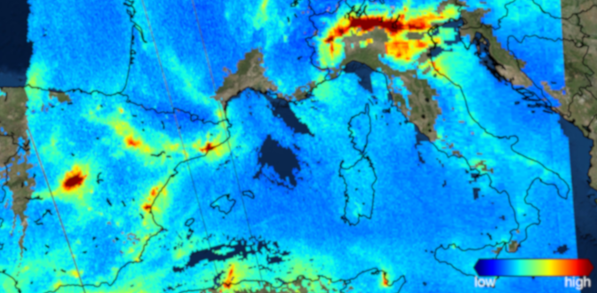
The management of near-surface air quality is essential due to its possible implications for public health, agricultural output, visibility, and aesthetic and cultural values. However, the intricacy in the availability of ground-based data makes the entire process of air-quality management difficult and uneconomic. Satellite-based observations reduce uncertainties in spatial distribution of air pollutants and the associated phenomena affecting them over synoptic and geospatial context.
The estimation of ground-level pollutant concentration using space-based observations is one of the foremost applications of remote sensing, which has recently been used for air quality management.
This 1 day workshop targets Bachelor/Master students.
Workshop structure
Session A: The basics of air quality monitoring and management
– Air quality basics / Copernicus program
– Air quality management monitoring and management
– Air quality assessment in Italy: ISPRA activities in the EU directives framework
Session B: The ground-truth: air quality measurements in urban scale
– Low-cost sensors for measuring PM2.5: Field evaluation, calibration and insights from medium size urban area
– Air quality monitoring through sensor-based networks in large metropolitan areas: The case of Athens, Greece
Session C: Transforming Earth Observation data into real insights for air quality
– Satellite data for air quality monitoring NO2 during pandemic times in Romania
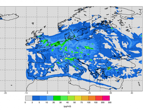
– Airborne dust identification from space: a new, MSG/SEVIRI-based method for air quality assessment
– EO data to support estimation of wildfires atmospheric emissions: a contribution to the assessment of the air quality
Session D: Air pollution modelling: what is it and what can it tell us?
– Forecasting Particulate Pollution in an Urban Area: From Copernicus to Sub-Km Scale
– High resolution spatio-temporal modeling of air quality based on empirical-statistical approaches
– Urban air pollution mapping towards protecting human health: from SMURBS practice to e-shape pilots
Learning outcomes
Recognize the basic atmospheric pollutants and their impact on climate and health.
Demonstrate knowledge of the natural processes involved in gas and particulate pollutants.
Apply this cognitive knowledge to explain state-of-the-art problems.
Process environmental information for the estimation of air pollution from individual sources.
Know computational tools and databases to record / visualize air pollution.
BoK concepts
Links to concepts from the EO4GEO Body of Knowledge used in this course:
- [AM10] Data mining
- [AM8]Geostatistics
- [CV1] History and trends
- [CV2] Data considerations
- [CV5] Map production
- [CV6] Usability
- [IP2] Data assimilation
- [PP1-5] Basic of Optics and Modern Physics of Sensors
- [PP1-6] Basics of Atmospheric Physics
- [PS1] Remote Sensing Sensors
- [PS2] Remote Sensing Platforms and Systems
- [PS3] Remote Sensing data and imagery
- [PS4] Satellite and Airborne Sensors and Missions Databases
- [TA1] Atmosphere Monitoring
- [TA2] Climate Change Monitoring
Workshop recording
Ownership
The Workshop is organized by University of Patras (UPAT), in the framework of the EO4GEO project.
Education level
EQF 5-6 (what is this?)
Language
![]() English
English
Creation date
17/12/2021
Access
+ | The material hosted in our e-learning platform consists of a video recording (3:55) and a slideset.
License: Creative Commons Attribution-ShareAlike.
