Product Description
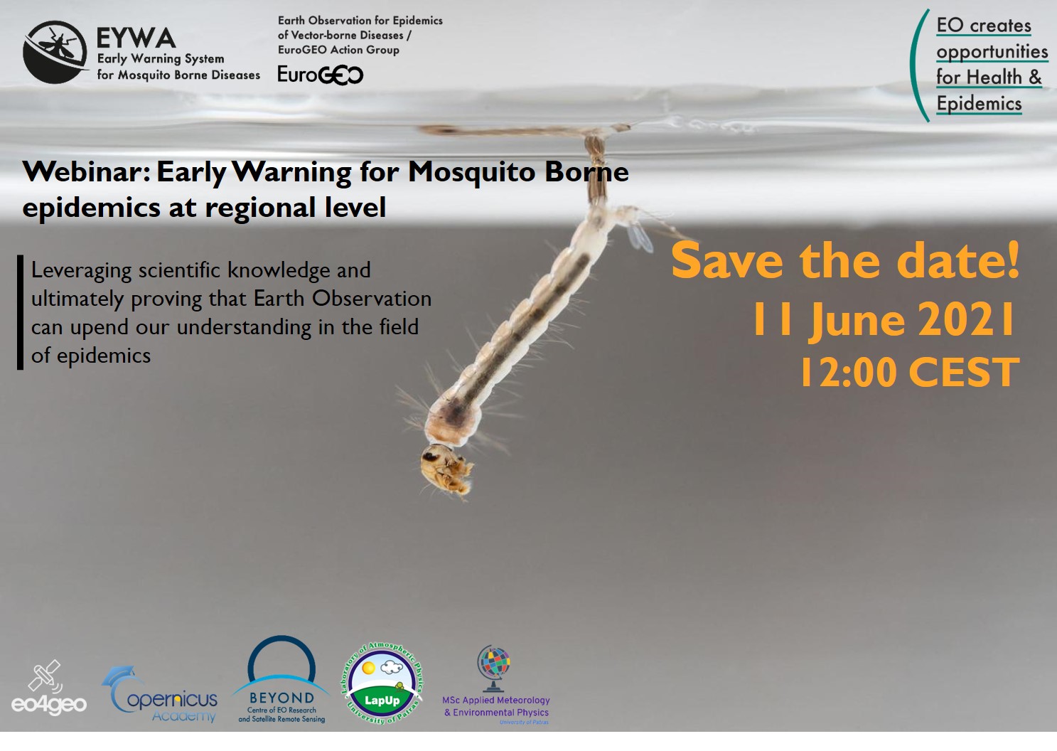
A webinar aiming to provide to the participants basic knowledge about the development and application of an early warning system to help prevent outbreaks for mosquito borne diseases.
The webinar is coorganized by the University of Patras (in the frame of EO4GEO project) in collaboration with the BEYOND EO Center and the EuroGEO Action Group “Earth Observation for Epidemics of Vector-borne Diseases”.
The participants will be able to understand the basics about the development of an early warning system for mosquito borne diseases. The development of an early warning system and its benefits on disease outbreaks will be presented for selected cases at regional and municipal level.
The webinar is mainly non-technical and targets planners at regional, city and municipal scale as well professionals with no extensive experience on early warning systems.
Learning outcomes
Recognize and explain at a basic level fundamental use of weather monitoring/forecasting for risk evaluation.
Be able to interpret EO surface environmental maps in a spatial planning context, useful for warning systems and decision making, taking into account the resolution and limitations of the data.
BoK concepts
Links to concepts from the EO4GEO Body of Knowledge used in this course:
Webinar recording
Ownership
The Webinar is organized by University of Patras (UPAT), in the framework of the EO4GEO project.
Education level
EQF 3 (what is this?)
Language
![]() English
English
Creation date
11 June 2021
Access
+ | The material hosted in our e-learning platform consists of a video recording (1:11) and a slideset.
License: Creative Commons Attribution-ShareAlike.
