Product Description
The course material consists of 5 videos about Earth Observation technologies and capabilities made especially for decision-makers and everyone that wants to gain insight into Earth Observation and its contribution in various fields.
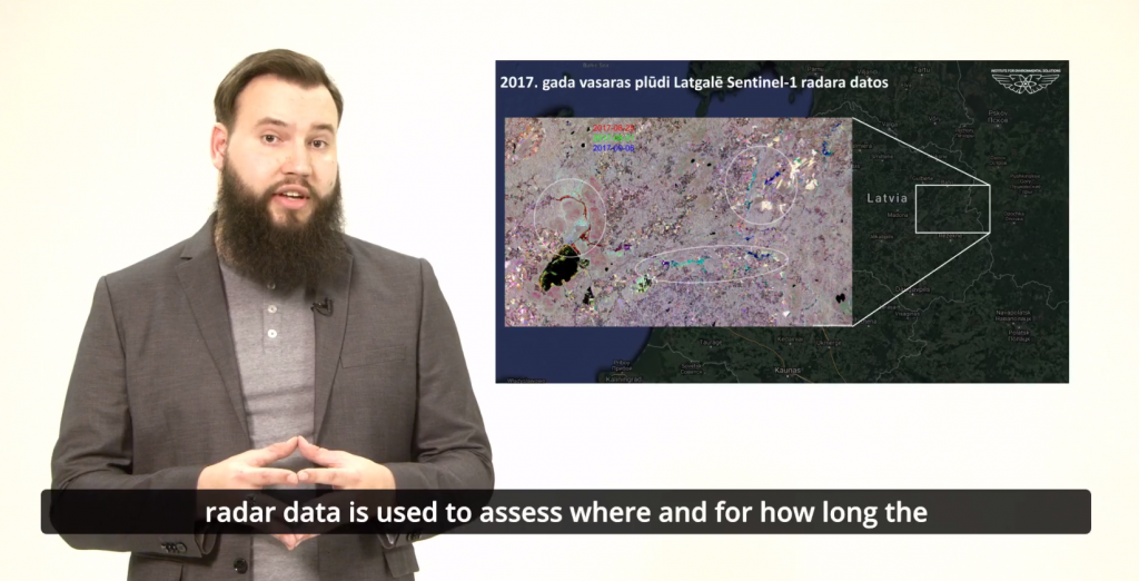
Each video provides general information about the use of EO data in different fields together with additional information from EO experts and experts in forestry, emergency management, ecology and nature conservation. The length of each video is below 10 minutes, meaning that the information is provided in a compact and easy to understand manner.
Available videos:
- EO and Decision Making
- EO and Forestry
- EO and Lakes
- EO and Emergencies
- EO and Natural Resources
Learning outcomes
Understanding the Earth Observation from the perspective of different use cases.
A general overview of the history of remote sensing and its impact on decision making on many levels today.
Learning about Earth Observation technologies and approaches which provide comprehensive information that can be used in various scenarios to gain detailed information and expanding the scope of the impact that certain decisions made in past are made now and will be made in the future.
Understanding the importance of EO in forestry.
Understanding how EO helps in freshwater management.
Learn the positive aspects of EO data in emergency situations.
Understanding how EO is helping to develop smart and sustainable decisions for business and public administration.
BoK concepts
Links to concepts from the EO4GEO Body of Knowledge used in this course:
- > GD | Geospatial Data
- > GD2 | Data Collection
- > GD2-2 | Remote sensing
- > GD10 | Aerial imaging and photogrammetry
- > GD11 | Satellite and shipboard remote sensing
- > GD2 | Data Collection
- > PS | Platforms, sensors and digital imagery
- > PS1 | Types of remote sensing sensors
- > PS1-1 | History of remote sensing sensors
- > PS1-2 | Passive vs. active sensors
- > PS1-3-2 | LiDAR (Light Detection and Ranging)
- > PS3 | Remote sensing data and imagery
- > PS1 | Types of remote sensing sensors
- > TA | Thematic and application domains
- > TA1 | Atmosphere Monitoring
- > TA1-2 | Solar energy
- > TA1-3 | Ozone layer and UV radiation
- > TA1-4 | Emissions and surface Fluxes
- > TA1 | Atmosphere Monitoring
- > CV | Cartography and Visualization
- > CV6 | Usability of maps
Material preview
Ownership
Designed and developed by: Agris Brauns, Institute for Environmental Solutions.
Contributors: Guna Datava, Inese Suija-Markova, Magda Jegere.
Education level
EQF 5 (what is this?)
Language
![]() English
English
Creation date
2021-03-20
Access
Find below a direct link to the HTML presentation.
Find below a link to the GitHub repository where you can download the presentation.
License: Creative Commons Attribution-ShareAlike.
