Product Description
This is a lesson on Earth observation data that can be combined with administrative, social and economic data at multiple scales for in-depth analyses.
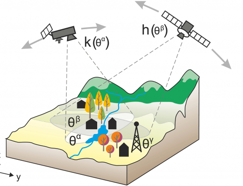
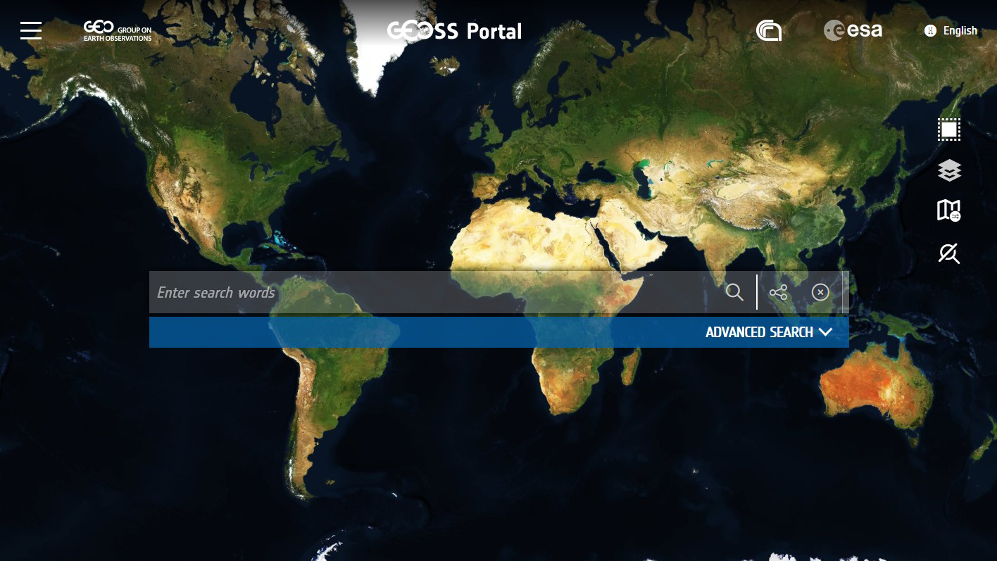
It encompasses observation data from satellites, aircrafts and drones, in-situ measurements or ground-based monitoring stations, and can provide unique and timely source data. Within the lesson different Copernicus and other services were listed, along with the agencies and organisations that provide data.
Learning outcomes
Get to know Earth observation data.
Familiarize with the existing Earth observation data and sensors.
Understand the Copernicus ecosystem and services.
Learn how to access the data.
Understand the Earth observation initiatives.
BoK concepts
Links to concepts from the EO4GEO Body of Knowledge used in this course:
- > AM | Analytical Methods
- > AM10 | Data mining
- > AM10-2 | Data mining approaches
- > AM10 | Data mining
- > CV | Cartography and Visualization
- > CV2 | Data considerations
- > CV2-1 | Data sources for mapping
- > CV2 | Data considerations
- > GD | Geospatial Data
- > GD2 | Data Collection
- > GD2-3 | Crowdsourced data collection
- > GD2 | Data Collection
Material preview
Ownership
Designed and developed by: Andrija Krtalic, University of Zagreb, Faculty of Geodesy.
License: Creative Commons Attribution-ShareAlike.
Education level
EQF 6 (what is this?)
Language
![]() English
English
Creation date
2020-09-20
Access
Find below a direct link to the HTML presentation.
Find below a link to the GitHub repository where you can download the presentation.

