Product Description
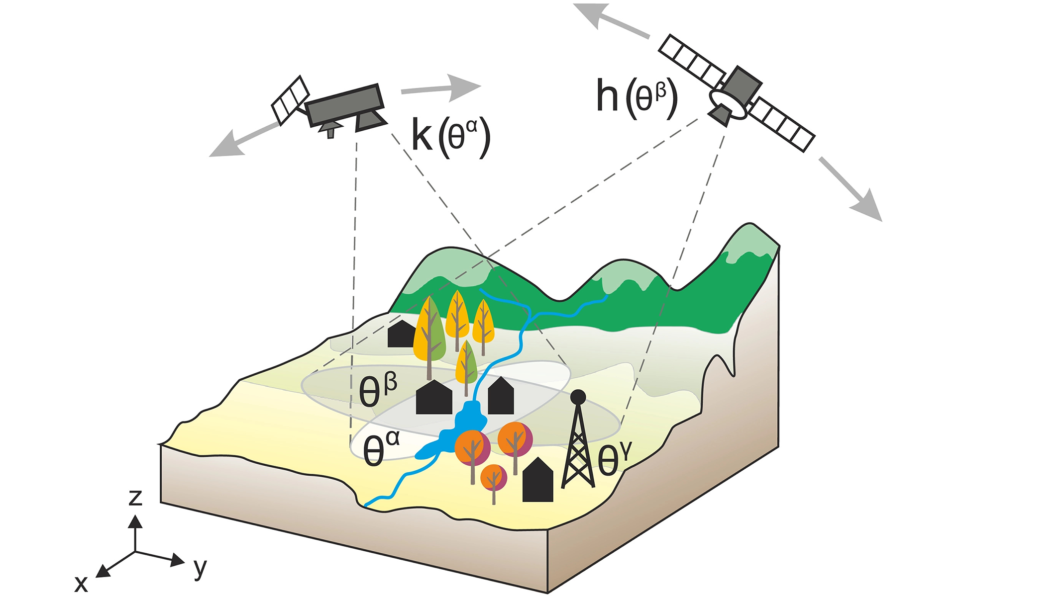
This is a lesson on Validation of EO products. Errors in satellite, aero and drone data products are known unknowns. However, quantifying the quality of these products by decomposing the inherent uncertainty components is a very challenging task. Validation refers to the process of assessing the uncertainty of higher level, satellite sensor derived products by analytical comparison to reference data, which is presumed to represent the true value of an attribute.
This course provides an overview of EO data validation procedures and frameworks.
Learning outcomes
Understand the basic terms in EO data validation.
Understand and distinguish terms ‘’error’’ and ‘’uncertainty’’ of EO data.
Understand EO data validation processes.
Categorization of EO data validation methods.
Understand goal of EO data validation.
BoK concepts
Links to concepts from the EO4GEO Body of Knowledge used in this course:
- > GD | Geospatial Data
- > IP | Image processing and analysis
- > IP4 | Data quality
- > TA | Thematic and application domains
- > TA14 | Standard EO products
Material preview
Ownership
Designed and developed by: Andrija Krtalic, University of Zagreb, Faculty of Geodesy.
License: Creative Commons Attribution-ShareAlike.
Education level
EQF 6 (what is this?)
Language
![]() English
English
Creation date
2020-09-20
Access
Find below a direct link to the HTML presentation.
Find below a link to the GitHub repository where you can download the presentation.


